Webinar- Making Connections: Integrating Enterprise Data and Programs with GIS
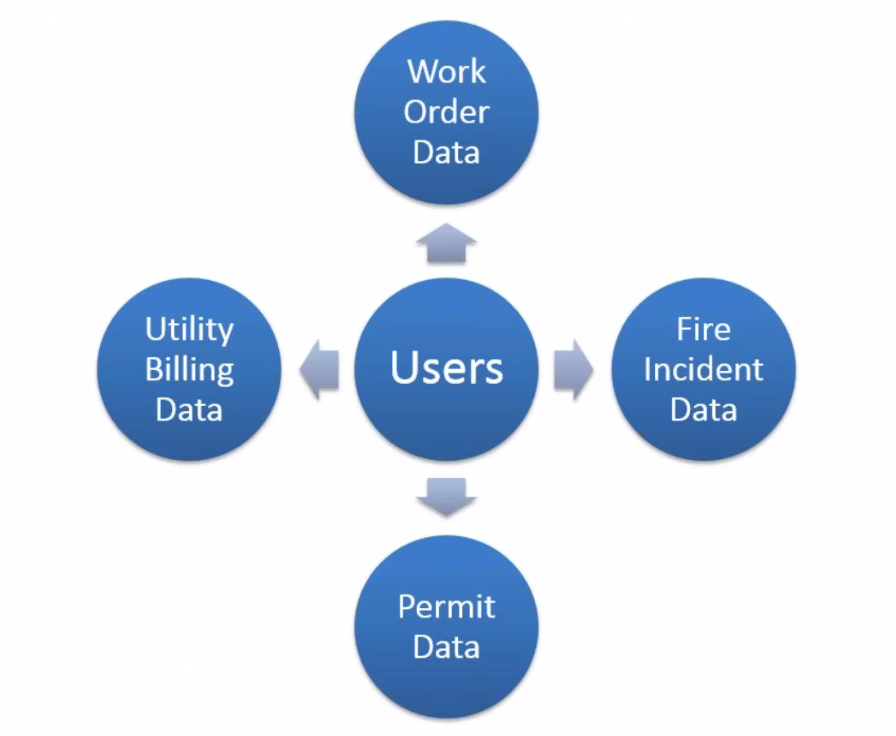
Every community in the Consortium uses a variety of programs and databases to store critical enterprise information. The challenge most communities often face with these systems is that not all stakeholders of the data have easy access to it or are proficient in how to use the programs themselves. This webinar will demonstrate the various ways that communities are using GIS to connect to and integrate with the information stored in these enterprise systems. Examples will range from simple integration, such as creating custom display layers from program data, to total integration, such as the ability to edit GIS data directly in a 3rd party program.
What you will learn:
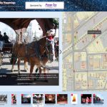
- How to create a visual representation of the information stored in a database
- How to utilize live database connections to your most commonly used systems and visualize them in MapOffice™. Examples will include Firehouse, Springbrook, and Laserfiche.
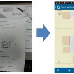
- How to extract data from AutoCAD and import it directly into GIS
- How to edit GIS data in 3rd party software and send the changes directly to your GIS database.